From The Freemans: That Squiggly Line Is Our Route
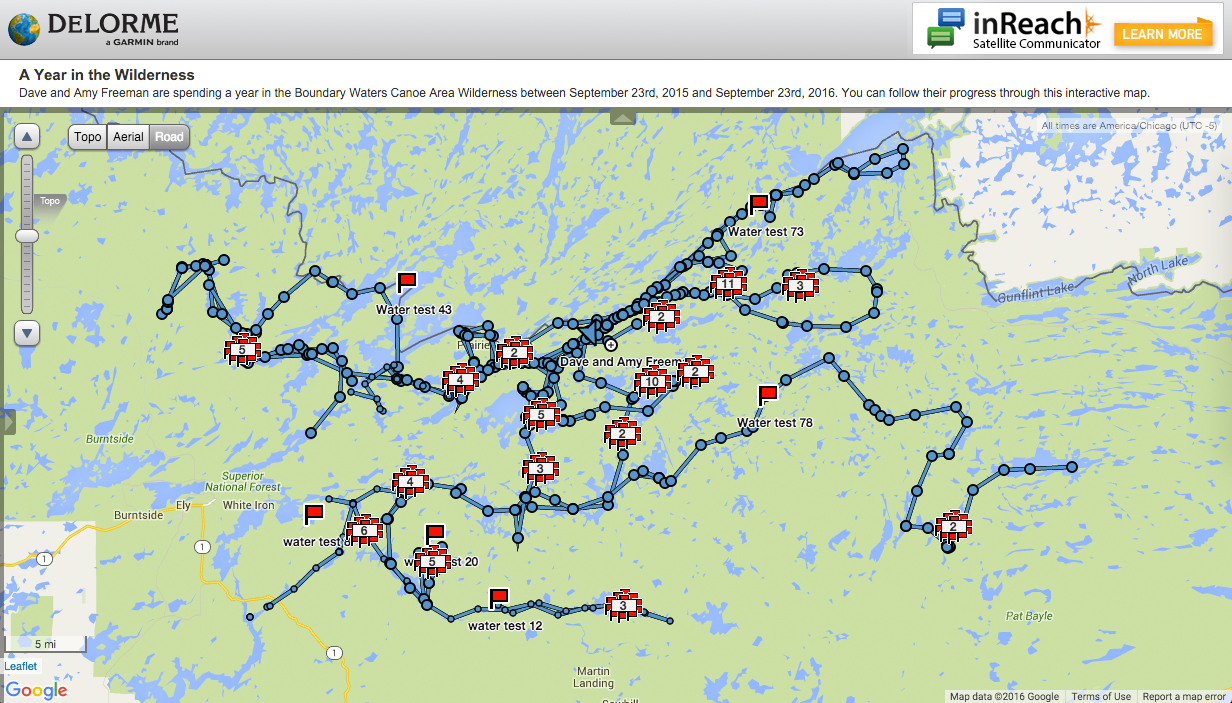 Take a look at our DeLorme Map above. It is probably hard to tell if there is any rhyme or reason to the line, which starts to looks like a bowl of spaghetti. People often ask us how we decide where to go during A Year in the Wilderness. In this blog post, I will try to explain some of the factors that help us plan our route.
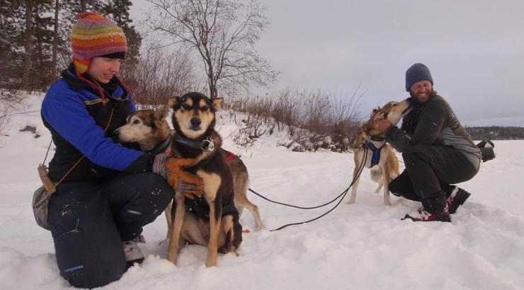
 We spent most of winter in the greater Ely area. We did this for several reasons. First, the logistics associated with organizing our resupplies in the winter were more complicated due of the added skill and specialized clothing and equipment necessary for our visitors to safely travel in the winter woods. Amy and I have led dogsledding trips for Paul and Sue Schurke at Wintergreen Dogsled Lodge for many years. Paul and many of the folks at Wintergreen used their dog teams and winter skills to assist with the resupplies, bringing many people out to visit us. For many of our winter resupply volunteers, it was their first time visiting the Boundary Waters Wilderness in the winter. Bert and Johnnie Hyde, Bobby Shusta, Elton Brown, Jason Zabokrtsky and many other area residents also donated their time and efforts to organize and lead these resupplies, and of course Levi at Sustainable Ely was in the thick of it all, helping to organize volunteers and to purchase, pack and ready all our food and supplies. A large number of volunteers with varying skills were needed for the winter resupplies and we are very thankful that so many people stepped up to assist.
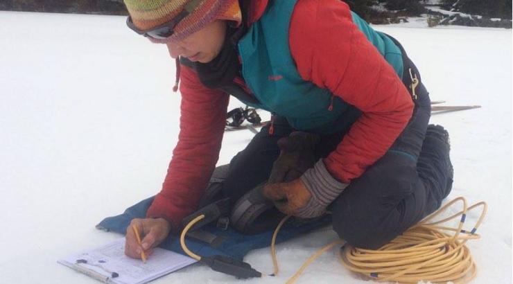
As it turns out, this winter was a warm one! The lakes froze several weeks later than normal and many bogs, creeks and streams did not freeze solid until well into February. The weather created abnormal travel condition so a few places that we had planned to explore in the winter we had to avoid because of the unusually warm conditions.
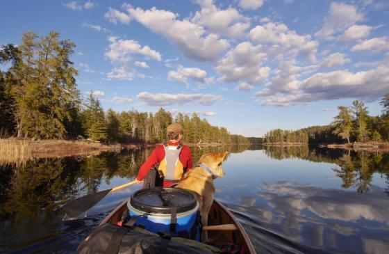
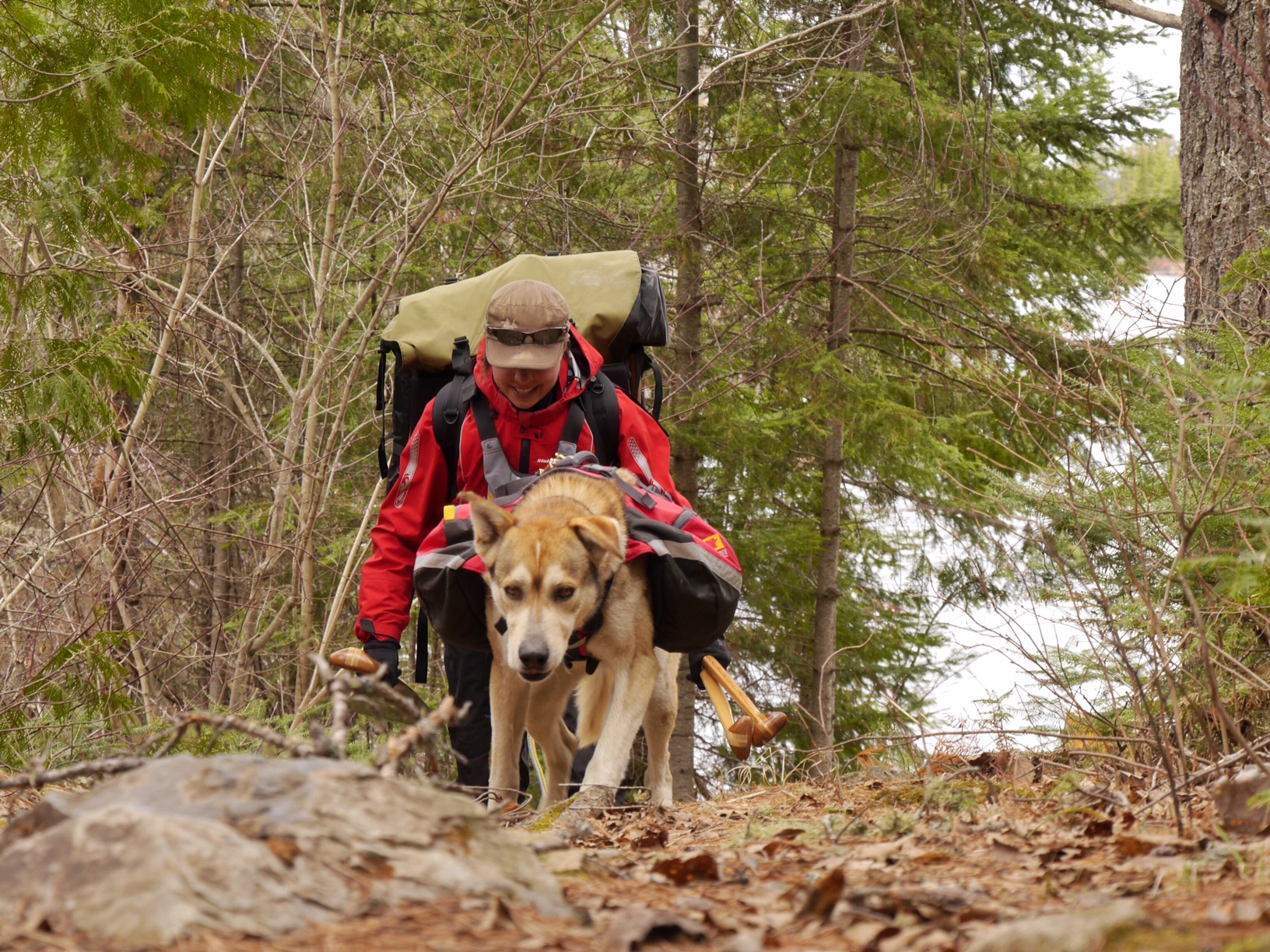
Now that the canoe season has started in earnest, we are traveling east into territory we have not visited during the first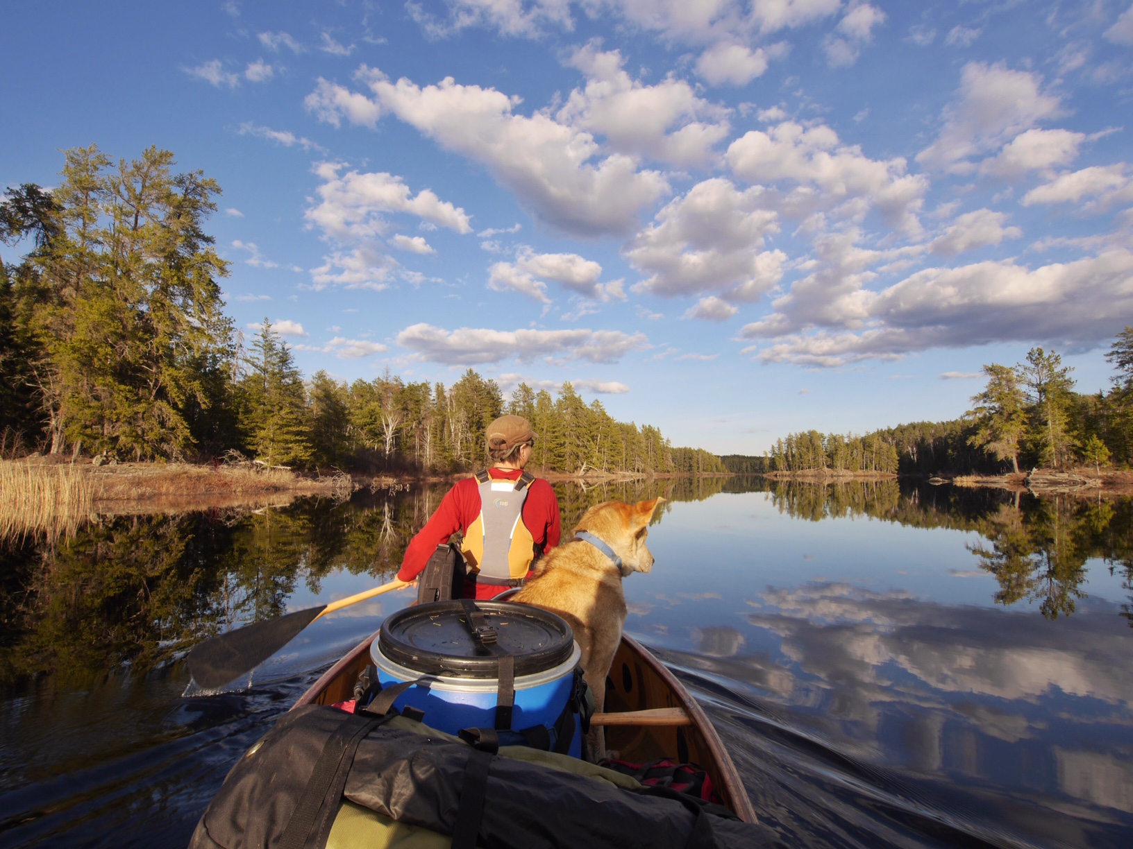 seven months of our Year in the Wilderness. Our resupplies between now and the middle of July will be brought in by groups of volunteers from entry points scattered throughout the eastern half of the Wilderness. Then we will head west again and spend our final months exploring the far western side of the Wilderness. We have visited 217 different lakes, rivers, and creeks during the first 231 days of A Year in the Wilderness. We are hoping to visit at least 500 different bodies of water. As we plan our route for our final four and a half months in the Wilderness we are trying to visit as many new lakes as we can.
Visitors are another factor that we consider when we are choosing our route. Beside standard resupplies, which come in approximately every two weeks, we have groups of friends, family, reporters and other people who are coming into the Wilderness to meet up with us. All visitors much have their own permit, so plan our schedule to be near the entry point where they will enter the Wilderness so we can greet them.
Our route planning has been pretty loose; we have been going with the flow. As we visit more and more lakes, we will have to think more strategically about our specific route. One overarching routing question that we have been pondering is: Should we visit the Gunflint section and the Trout Lake section of the Wilderness?
The Boundary Waters Wilderness is broken up into three sections. The main section is approximately 800,000 acres. The Gunflint and Trout Lake sections are each about 100,000 acres. To enter the Gunflint section we would have to leave the Wilderness and paddle for about 10 miles across Gunflint Lake. Then, after spending about 10 days visiting the Wilderness north of the Gunflint Trail, we would paddle back across Gunflint Lake and return to the main body of the Wilderness. To access the Trout Lake section we would have to leave the Wilderness for a couple miles and portage across the Echo Trail as we enter and then exit the Trout Lake section. There are specific travel routes that allow you to travel from one section to another without needing to obtain a new permit as long as you follow a few basic rules like not spending the night outside the Wilderness and not obtaining food or supplies while crossing from one section to the other.
 We are trying to decide if we should remain in the main section for the whole year, or if we should travel to the Gunflint and Trout Lake sections. The Wilderness north of the Gunflint Trail is rugged and beautiful, and Amy and I have never visited the Trout Lake section, so there is appeal to visiting both. However, there is a part of us that doesn't want to cross a road, or leave the Wilderness even for a couple hours. If we do not visit the Gunflint and Trout Lake areas we would not be able to see as much country and visit as many lakes, but we would have more time to explore smaller lakes and streams that are off of the main travel routes. These smaller lakes are not linked by portages and you often have to crash through the forest, slog through bogs, and climb over beaver dams to visit these hidden gems.
We would love to hear your thoughts. Send us a message on Instagram or Facebook, or email levi@savetheboundarywaters.org
Dave and Amy Freeman, 2014 National Geographic Adventurers of the Year, are dedicated to protecting the Boundary Waters from sulfide-ore copper mining proposed on its wilderness edge. In 2014, they paddled and sailed 101 days and 2,000 miles from Ely, MN, to Washington, DC, on the Paddle to DC. They are now spending a year in the Boundary Waters on A Year in the Wilderness. Follow their journey on social media (#WildernessYear) and by tracking the trip on their map. More A Year in the Wilderness blog posts.