From the Freemans: Water Quality Testing of Boundary Waters Lakes
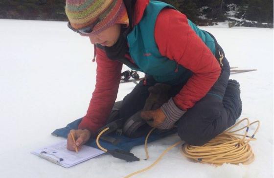
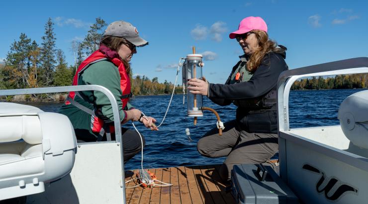
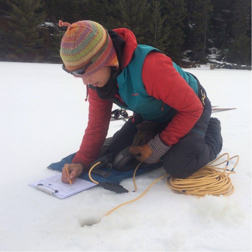
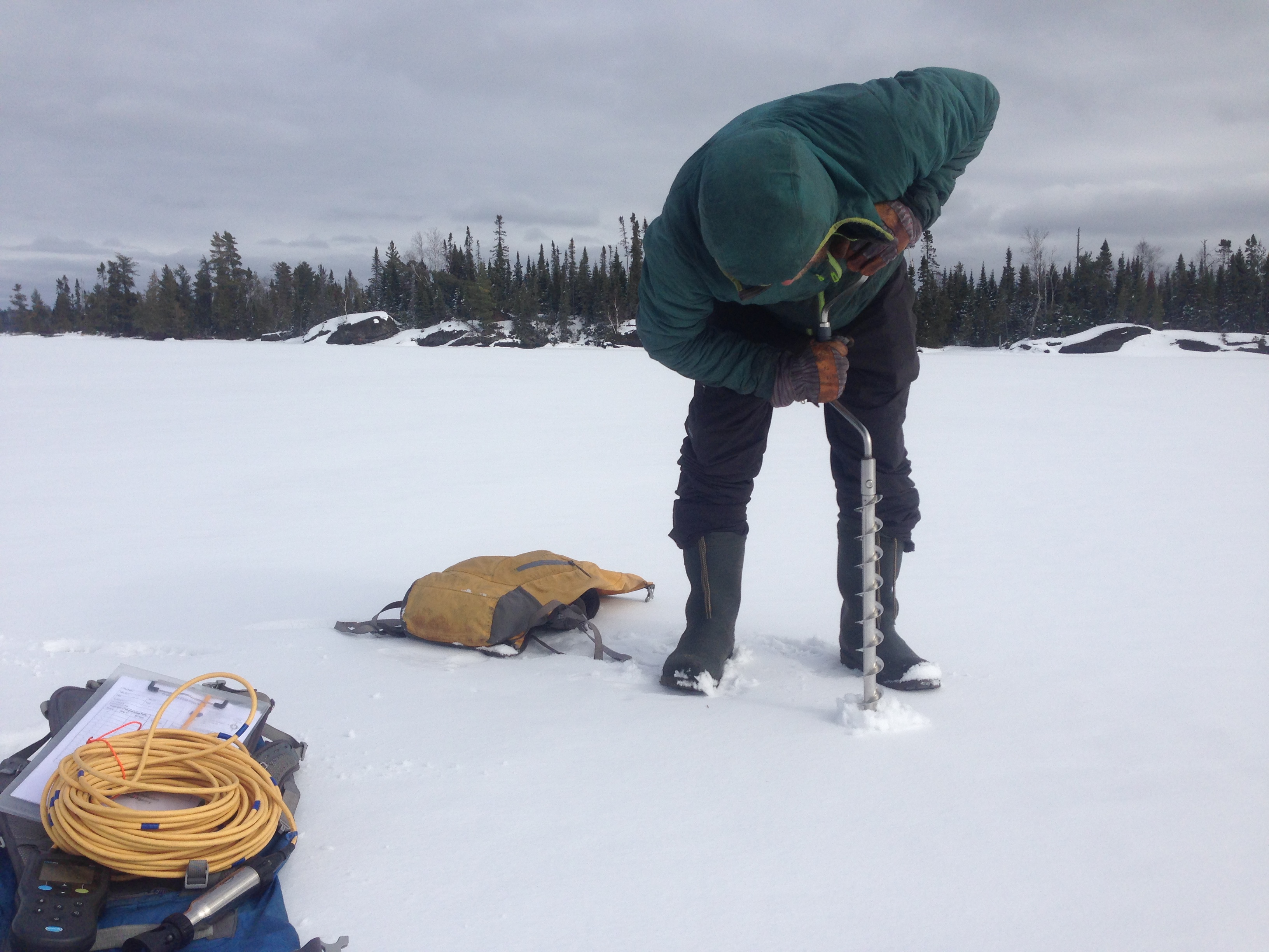 My husband Dave and I skijored to the deepest spot on Wood Lake. Sled dogs Tina and Acorn pulled Dave. I followed with Tank enthusiastically trotting along. The air temperature was 10 degrees below zero—it was cold and the wind out of the northwest made it even colder. We paused near an island to detach ourselves from the dogs and walked the rest of the way to the deep spot. GPS in hand, Dave confirmed our position and kicked snow off the surface of the ice with his ski boot. He assembled our hand-powered ice drill and I pulled out the Hach Meter and clipboard. This was our 61st lake for measurements. The data we collected included dissolved oxygen and water temperatures for every meter—from the surface to the bottom or the end of the 15-meter probe, whichever came first. We also measured conductivity at the surface and when lakes were not ice-covered, turbidity with a secchi disk.
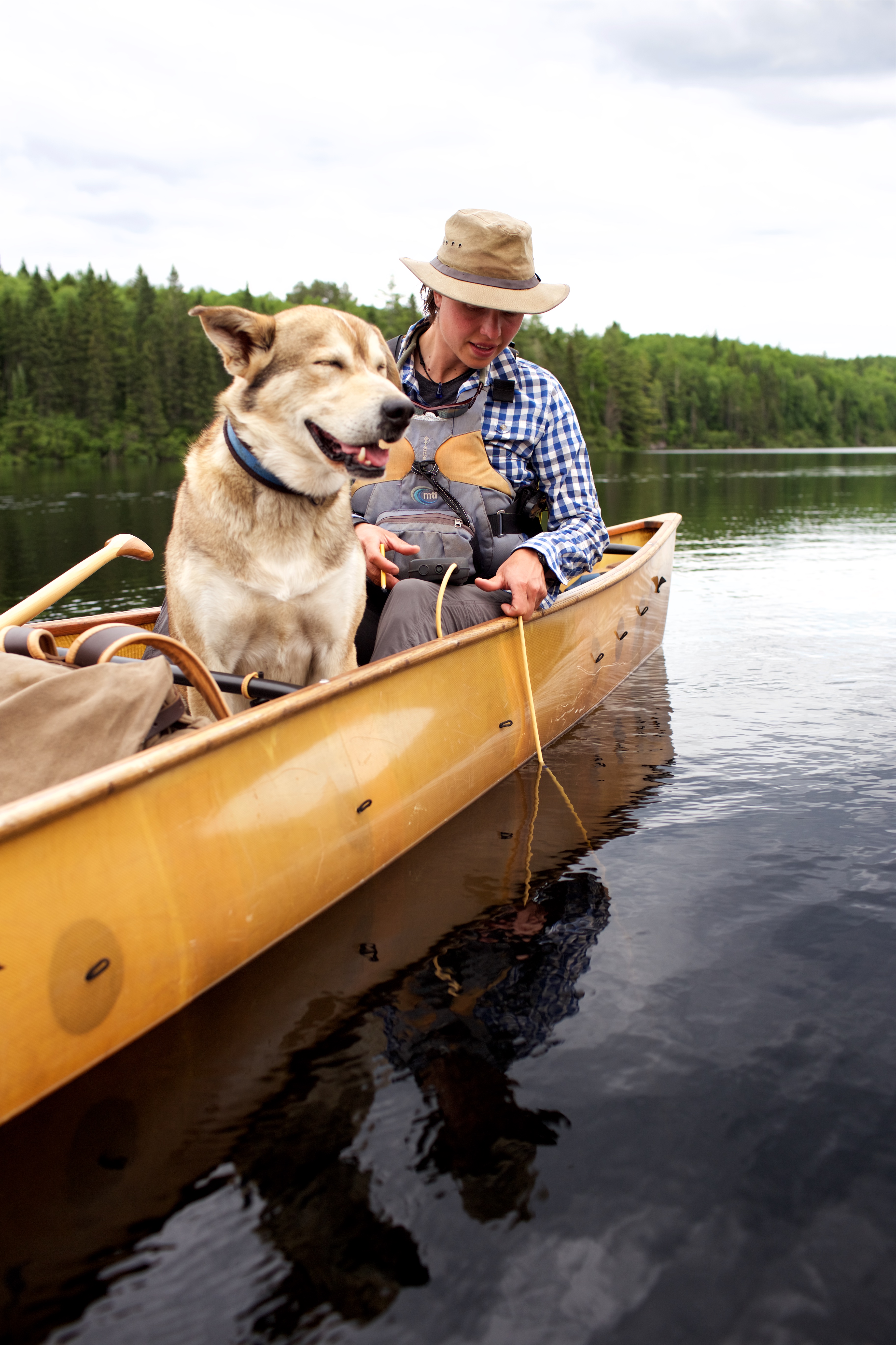
As Dave completed the final cranks of the hand-powered ice drill and pulled it from the hole, I pulled the batteries for the Hach Meter from my warm pocket. If I had left them in the Hach Meter even for our 20-minute ski, they wouldn’t have functioned in the cold. I breathed a sigh of relief as the Hach Meter powered on and I lowered the probe into the hole. Dave did jumping jacks as I wrote down measurements—happy to have mastered the art of wielding the pencil with my mitten on. The dogs watched with curiosity from their spot, nestled in the spruces. Despite the fact that the lake was only 5 meters deep, this was our most challenging spot to measure. I longed for the ice-free season when I simply lowered the probe over the gunwale of the canoe.
 Why were we bothering to collect this data? In addition to keeping the beloved Boundary Waters on peoples' minds for an entire year, we also collected water quality data for the Minnesota Pollution Control Agency (MPCA), adding measurements from 100 bodies of water to its database. We also collected water samples for Adventure Scientists’ Global Microplastics Initiative.
It will be a while until the data is publicly available on the MPCA and Adventure Scientists websites, but I can share with you a few things we learned during the process. It was expected that most Boundary Waters lakes would have dissolved oxygen greater than 5 mg/L (milligrams per liter) at the surface; we frequently saw dissolved oxygen higher than 7 mg/L—and it was not uncommon for us to find 10 mg/L or higher. In deep lakes, it is normal for dissolved oxygen to drop to near 0 mg/L mid-summer, about 10-20 feet down at the thermocline. Lake trout are cold-water fish and can be found in many of the deep, clear lakes in the Boundary Waters. These fish need dissolved oxygen concentrations greater than about 7 mg/L from the surface all the way to near the bottom to survive and we were happy to confirm that was the case in many of the deep, clear lakes that we measured.
 I’ll give Basswood Lake a little more scrutiny, since it has a thriving fishery and is known for excellent fishing opportunities for lake trout, walleye and smallmouth bass—and it happens to be downstream from the proposed Twin Metals mine site. We took our measurements at the deepest part of Basswood, which is 111 feet deep and maxed out our probe. The dissolved oxygen at the surface was 10.29 mg/L, and halfway down (14 meters) it was still a healthy 9.3 mg/L. No wonder Basswood is a world-class fishing destination!
What about the samples for the Global Microplastics Initiative? They are being analyzed now and soon we will find out how many pieces of microplastics were found in each liter of water that we gathered. Microplastics are plastic particles smaller than 5 millimeters in size. They pose a significant environmental and human health risk when they enter our waterways. The Adventure Scientists have found microplastics in the vast majority of samples they have compiled over the last few years. It will be exciting to see the results from the samples we gathered.
Just in the past year, more and more reports are coming out about lakes being un-swimmable or unfishable due to pollution in the southern part of Minnesota. The walleye fishery in Lake Mille Lacs is in decline. Yet we happily drank out of, swam in and handily fished in the wilderness lakes of the Boundary Waters during our year out there. We are fortunate that wilderness advocates have kept the Boundary Waters forests untrammeled and the water unpolluted up until now, but it will take foresight and diligence to keep them that way.
“This is the most beautiful lake country on the continent. We can afford to cherish and protect it. Some places should be preserved from development or exploitation for they satisfy a human need for solace, belonging and perspective. In the end we turn to nature in a frenzied chaotic world, there to find silence—oneness—wholeness—spiritual release.”– Sigurd Olson
Take action today to protect the clean water of the Boundary Waters for future generations.
Dave and Amy Freeman, 2014 National Geographic Adventurers of the Year, are dedicated to protecting the Boundary Waters from sulfide-ore copper mining proposed on its wilderness edge. In 2014, they paddled and sailed 101 days and 2,000 miles from Ely, MN, to Washington, DC, on the Paddle to DC. From September 23, 2015 to September 23, 2016, the Freemans spent A Year in the Wilderness, camping at approximately 120 different sites, exploring 500 lakes, rivers and streams, and traveling more than 2,000 miles by canoe, foot, ski, snowshoe and dog team. They documented their year and will continue to share their stories on social media (@FreemanExplore, #WildernessYear) and in blog posts. A documentary about their journey, Bear Witness, premiered fall 2016. A book about their year will be published by Milkweed Editions in fall 2017.