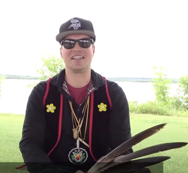
The Boundary Waters
is Anishinaabe Land
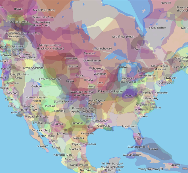
An important part of learning about and advocating for the Boundary Waters is hearing Indigenous stories, learning about the history of forced removal of Indigenous people, treaties made and broken, formation of reservations, original Anishinaabe place names, and understanding the central roles Tribes play as advocates and as Sovereign Nations in protecting this landscape.
It’s our responsibility to learn more, and take action to support indigenous people and communities.
Homeland of the Anishinaabe People
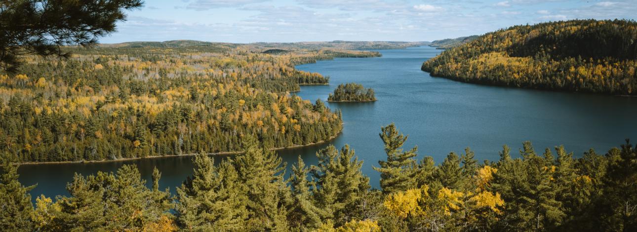
The historic and present quest to steward, protect, and enjoy the Boundary Waters starts with and includes Anishinaabe people. Too often, the “story” of the Boundary Waters Wilderness is told starting only a few hundred years ago with the French Voyageurs, or the protection of the area by the U.S. Government in the early 1900s. Describing the Wilderness as “untouched” can feel like erasing the reality that people called this area home long before European colonization and Wilderness designation.
Save the Boundary Waters is committed to recognizing and lifting up Native voices, stories, and opinions.
The Original Wilderness Protectors
Working Together
Bands Working Together
Minnesota Tribal cultural and historical resources:
- Bois Forte Heritage Center and Cultural Museum
- Grand Portage National Monument Heritage Center
- Fond du Lac Reservation Cultural Center and Museum
- Quetico Superior Wilderness News article describing evidence of Anishinaabe forest use practices
- MPR News: New info on state's earliest inhabitants found in BWCA
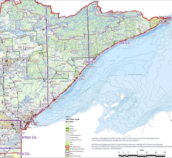
- 1854 Treaty Authority Website
- People, Fires, and Pines: A story map about the historical use of cultural fire by the Anishinaabeg in the Boundary Waters region

The Right to Hunt and Fish